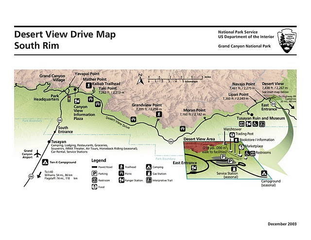
South Rim Sites
Click on a point in the map to go to page
Map Credit: Yolonda Youngs
Click on a point in the map to go to page
Map Credit: Yolonda Youngs

Map Credit: National Parks Service
North Rim Sites
Click on a point in the map to go to page
Rim Viewpoints
Click on a point in the map to go to page
Map Credit: Yolonda Youngs
Click on a point in the map to go to page
Map Credit: Yolonda Youngs
Click on a point in the map to go to page
Map Credit: NPS
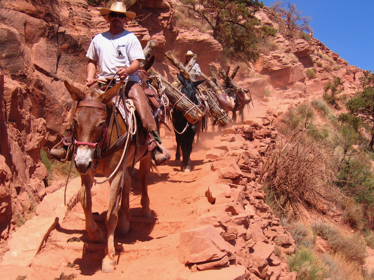
Rim to River and Inner Canyon Trails
Map Credit: NPS
Beyond Park Boundaries
Many of the lands and locations on this map are linked to pages in our Grand Canyon website that explore the history of those places. Click on the names of lands adjacent to the national park to learn more about them.
Map Credit: National Park Service
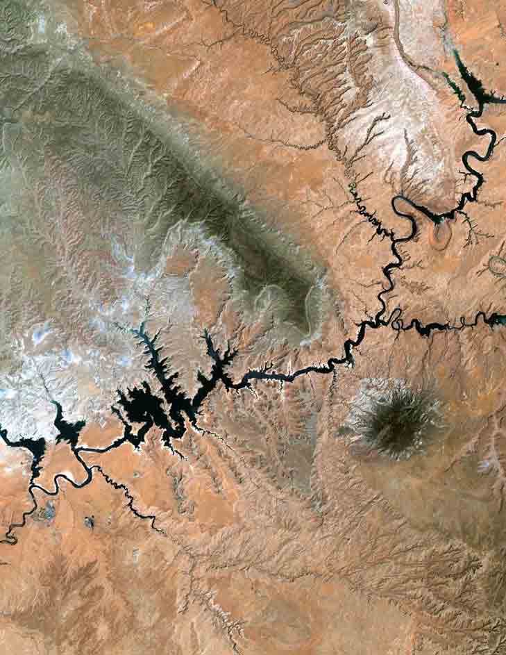
This Landsat image shows Lake Powell, the second-largest capacity reservoir in the United States. The lake was created in 1963 by the building of Glen Canyon Dam on the Colorado River. The entire area known as Glen Canyon National Recreation Area, is run by the National Park Service.
Image courtesy of the Landsat Project digital archives, part of a joint endeavor of the U.S. Geological Survey and NASA.
Click the names of the tribal reservations in northern Arizona to learn more about their history and connection to the Grand Canyon.